VDES Reached Two Ships in Mikawa Bay. What Would It Take to Deploy?
A shore station sent a recommended route to two vessels in Mikawa Bay, and both reported whether they accepted it. Deploying VDES will take shipboard equipment, coastal stations and satellite services that can work together.
A shore station sent a recommended route to two vessels in Mikawa Bay, and both reported whether they accepted it. Deploying VDES will take shipboard equipment, coastal stations and satellite services that can work together.
A shore station sent a recommended route to two vessels in Mikawa Bay in November 2026, and the crews shared whether they accepted it before following the route. VDES, the VHF Data Exchange System, carried a route proposal through to a decision on board. The next evidence I want is a record of that workflow operating with different terminals and shore stations. NEDO's trial announcement
In my article on lunar transportation, I put the announced contract ceiling and the amount ordered on separate lines. I read this trial the same way. A connection from shore to ship demonstrates a technical capability. A procurement document or service contract tells me who will buy it and where it will run. Lunar transportation contracts
This article draws on public information.
What the two ships actually received
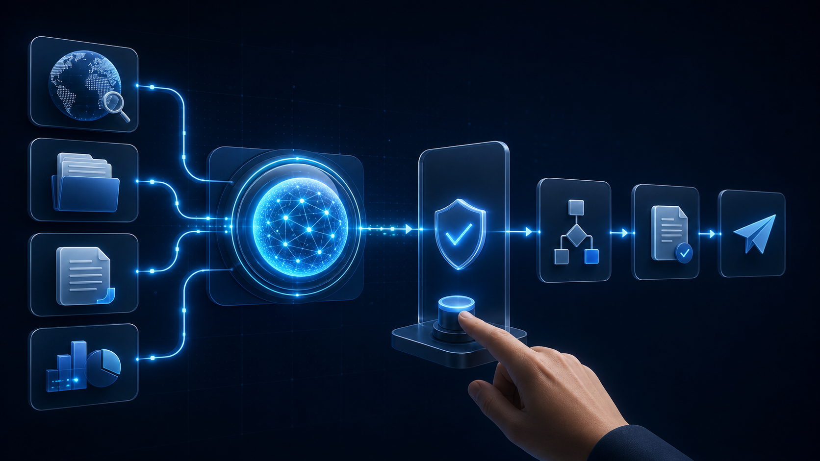
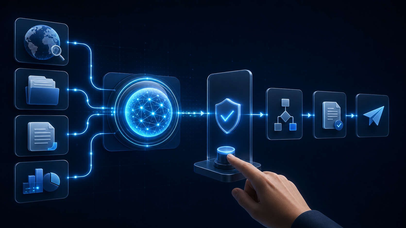
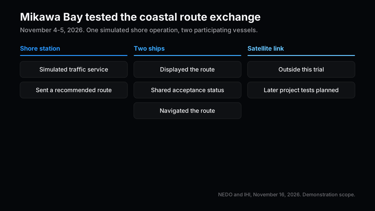
NEDO and IHI carried out the trial in Mikawa Bay, Aichi Prefecture, on November 4 and 5. A coastal station played the role of a vessel traffic service and sent recommended route data to two vessels using Japanese-developed terminals. The crews reviewed the route in an application, shared whether they accepted it with the shore station and the other vessel, then navigated along the recommended route. NEDO's trial announcement and IHI's trial announcement
What caught my eye was the reply. Delivery to the terminal and acceptance by the watch officer are separate entries in an operating log. Suppose a vessel receives a suggested route and local conditions change before it can take it. The next trial should record when the shore station withdrew or updated the proposal, when the crew saw the change, and how both sides closed out the earlier proposal. A receipt timestamp alone cannot answer those questions.
| Step | What the November 4–5 trial showed | What I would check in service |
|---|---|---|
| Shore station | Simulated a traffic service and sent a recommended route | Who updates the route and which observations trigger a change |
| Two vessels | Displayed the route on board | Whether equipment from another vendor depicts the same proposal with the same meaning |
| Reply and navigation | Shared acceptance status and navigated the route | What the watch officer does after a missed, expired or corrected proposal |
| Satellite link | Listed in the project’s plan for separate future testing | How long it takes to deliver a route and get a reply outside coastal coverage |
NEDO reported that showing the route and sharing the acceptance status helped crews make decisions and reduced workload during the trial. The release gives no delivery-time distribution, failure rate or results for a second terminal design. I would need another trial to use any of those values for a busy port. NEDO's trial announcement, sections 2 and 3
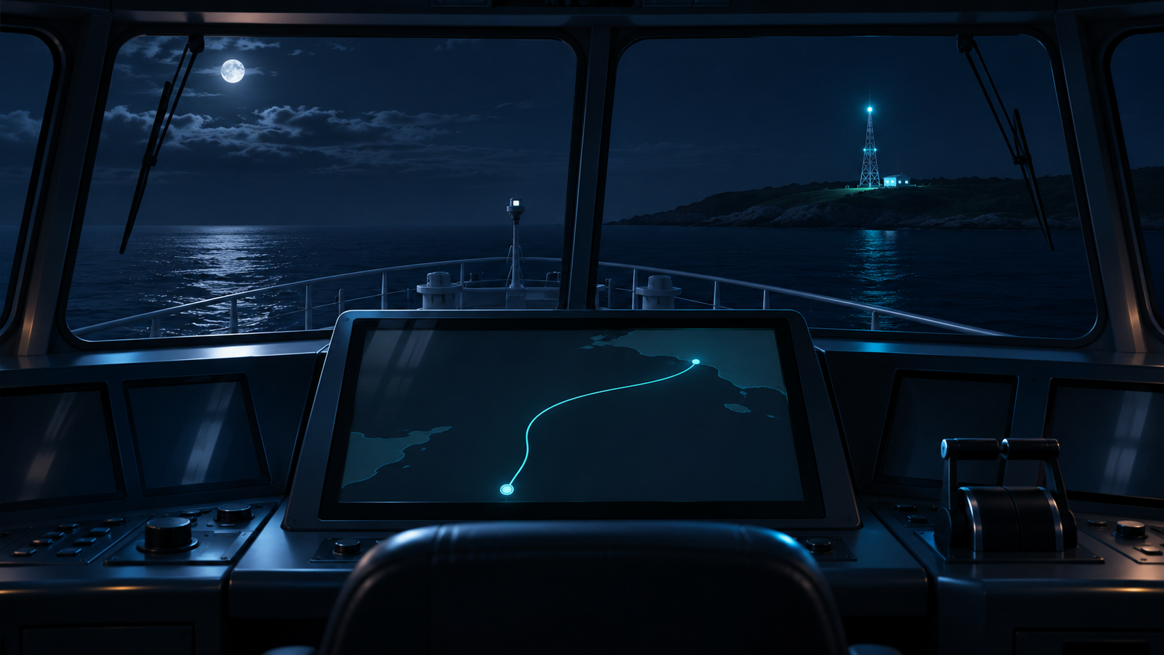
A shipboard display has to fit the shore operator’s workflow
Ships use AIS, the Automatic Identification System, to exchange identification and position information. IALA Recommendation R1007 describes VDES as incorporating AIS, application-specific messages (ASM) and VHF data exchange (VDE). VDE has terrestrial and satellite components. A port that can see vessel positions has answered one communication question. The test for route exchange also covers the message shown on board and the status returned to shore. NEDO's notes and IALA R1007, edition 2.0, page 3
Building and operating a river flood detection system taught me to follow a message beyond receipt. With a route update I would ask whether the crew can distinguish the new proposal from the current route, whether the shore operator can tell a pending decision from a refusal, and what both parties do when a reply never arrives. If both terminals preserve those distinctions, operators have something to compare when they trial equipment from another supplier.
A shipowner considering new equipment has to budget for integration with the existing display, time for installation and service, and familiarization for the crew. The shore operator has to decide where the service will run and who handles faults and updates outside working hours. A ship's installation schedule and a coastal station's coverage plan must overlap on an actual route before crews can use the service repeatedly.
| Buyer or operator | Published evidence | What I would check before an order |
|---|---|---|
| Shipowner or fleet operator | A two-vessel Mikawa Bay trial with terminals still under development | Terminal model, existing system interfaces, installation and servicing terms |
| Coastal operator | IALA R1007, edition 2.0, June 2024, recommends upgrade planning for AIS shore infrastructure | Service area, counterparties for shared operations, and who pays for monitoring and restoration |
| Satellite service provider or user | A Tokyo workshop on November 10–13, 2026 discussed operating requirements | Delivery results for a defined area and time, and the fallback after a missed delivery |
R1007 also advises consideration of link-level integrity monitoring and coordination among parties sharing resources. Its shore-side recommendations give agencies a basis for planning. To see which stations are funded, I would look at the operator’s procurement documents. IALA R1007, edition 2.0, page 4
Offshore, the test is whether the message arrives in time to use
On November 13, the Japan Coast Guard reported on the Tokyo workshop. Satellite operators and users discussed practical problems in separate groups, and the Coast Guard expects the discussion to inform future guidance. IALA’s workshop materials also point to earlier demonstrations of satellite VDES dissemination of S-100 data products. Delivering information by satellite and asking an officer to accept or decline a route proposal are different tests, with different timing requirements. Japan Coast Guard workshop report and IALA workshop materials
A ship far offshore may be able to use a bulletin that arrives later in its passage. A coastal operator awaiting acceptance of a recommended route needs the response before the crew has to make a decision. For the latter case, I would ask for the time spent in delivery to the vessel, review on board, and delivery of the reply. A footprint map shows where an operator proposes to serve vessels. A message log shows whether the service fits a decision window.
I would set the unit of evaluation to a port-to-port leg. Can the crew use the same terminal and workflow after leaving coastal coverage? If a satellite-delivered route update is late, can the next coastal station resume the exchange without acting on the stale version? Useful results would name the area, message type, equipment on each side and decision deadline. That gives a buyer a way to compare two trials whose advertised coverage areas look similar.
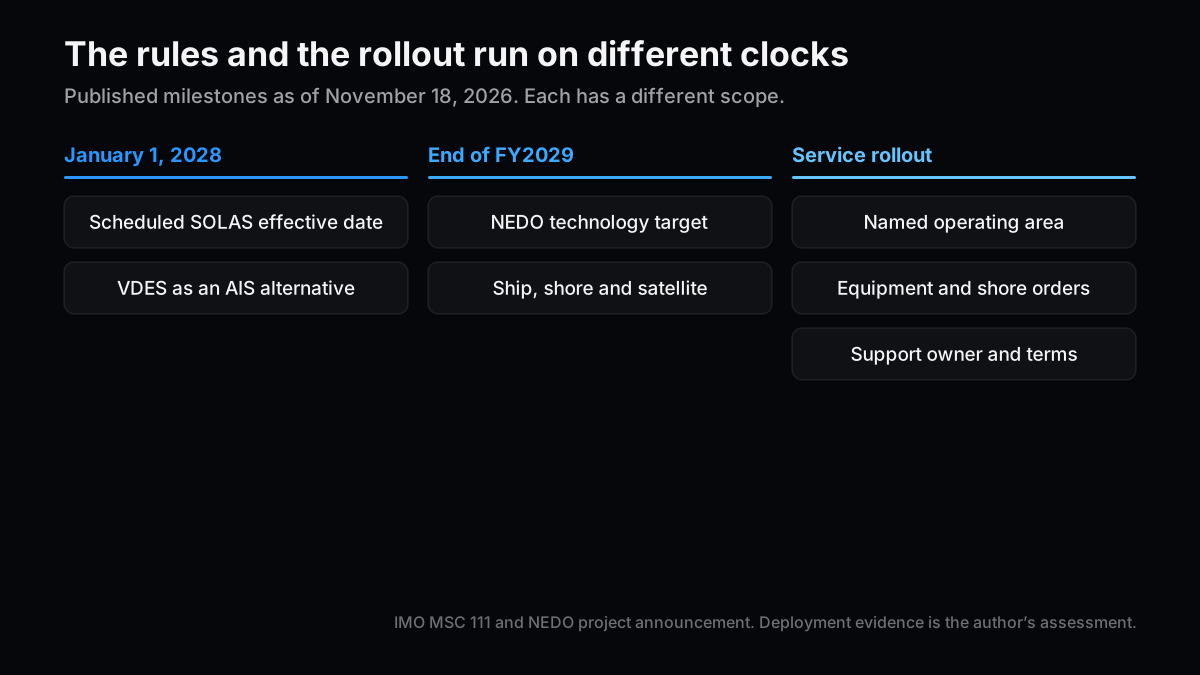
The 2028 rules and the FY2029 project target run on different clocks
At MSC 111 in May 2026, the IMO Maritime Safety Committee adopted amendments to SOLAS chapter V permitting shipborne VDES as an alternative to AIS. The amendments are due to enter into force on January 1, 2028. That date opens an equipment choice under the rule. A forecast of fleet replacements still needs actual renewal plans from shipowners. IMO MSC 111, sections 1 and 7
NEDO and IHI are aiming to establish the technology by the end of Japanese fiscal 2029, after further tests involving vessels, shore stations and satellites. To date an operating rollout, I would look for a service area, a start date and an agreement identifying who is paying. A trial terminal delivery, installation on a working vessel and a year of operational support should have separate lines in any revenue estimate. NEDO's trial announcement, section 3
| Milestone | Published timing | Next document to check |
|---|---|---|
| SOLAS amendments | Due to enter into force January 1, 2028 | Compliant terminals and the fleet's renewal plan |
| Japanese development program | Technology target by the end of FY2029 | Ship, shore and satellite test conditions and measured results |
| Operating service | No service start date given in the Mikawa Bay release | Routes served, unit counts, ownership of support and user contracts |
My investment read turns on orders along the same route
For now I would evaluate a coastal use case in a defined area. It's easier to identify which vessels and shore stations to inspect when something fails. Shipowners, coastal operators and satellite providers spend from separate budgets. A terminal preorder and a satellite launch can appear in the same market forecast even if they serve different routes. I would look for installations and operating contracts that support each other along a named passage.
I would revise that view on seeing vessels with terminals from different suppliers exchange messages with the same shore station, then complete delivery and response through a satellite link within a stated deadline outside coastal coverage. A continued service contract alongside those results would make the strongest case. I would read the timing with vessel locations, weather and the treatment of failed deliveries. A short mean delivery time has limited value for a workflow where a late reply holds up a decision.
| Scenario | Evidence I would look for | My assessment |
|---|---|---|
| Base case: limited-area adoption | Shipboard installation and coastal station procurement advance in the same port | Start with the value of installation, training and maintenance contracts |
| Expansion: more ports and offshore routes | Vendors interoperate and satellite messages keep arriving within agreed deadlines | Estimate recurring service revenue from operating areas and user contracts |
| Tail risk: testing continues while orders slip | Either the coastal or the shipboard upgrade stalls, and deployments remain hard to compare | Separate development work from service revenue and remove a wide rollout from the estimate |
The next document I want is a specification for a route already served by working vessels. Once it identifies who buys the terminal and answers when the service stops, I can tell which part of the trial has turned into a job someone pays for.
Related Posts
- Lunar transportation: contract ceilings and backlog — What has to happen before a headline contract value becomes a paid order.
- Satellite communications and ground infrastructure — How to examine the satellite footprint and the ground connections separately.
References
- NEDO, Mikawa Bay recommended-route demonstration (November 16, 2026. Trial procedure in section 2 and project target in section 3.)
- IHI, route exchange demonstration (November 16, 2026. Shore and vessel procedures.)
- IMO, MSC 111 meeting summary (May 13–22, 2026. Adoption and effective date in sections 1 and 7.)
- IALA, R1007 edition 2.0 for shore infrastructure (June 2024. Pages 3–4.)
- Japan Coast Guard, satellite VDES workshop report (November 13, 2026. Workshop findings, in Japanese.)
- IALA, satellite VDES workshop materials (November 10–13, 2026. Background and objectives.)
Next Issue Ideas
- Which shore stations will be upgraded first? Compare publicly procured upgrades with the routes those stations will serve.
- When does a satellite message arrive too late? Use the time crews have to act to design separate tests for bulletins and exchanges that require a reply.
- What does a shipboard terminal sale turn into? Compare the contract terms for supply, installation, training and upkeep.
This article is for information and does not constitute investment advice. The author may hold mentioned securities. Generative AI assisted in its preparation. See the disclaimer.